Brilliant Remote Sensing Labs FZ LLE (“BRS-Labs”) provides this website (including the registered user or distributer service) to you under the following terms and conditions:
Use of this Site
You agree that all the materials displayed on or available through this website including without limitation any and all names, logos, data, information, graphics, underlying software, displayed on or available from this website are protected by copyright, trade mark and other intellectual property laws and are available for your personal use only. You must not copy, modify, alter, download, publish, broadcast, distribute, sell or transfer any such materials without our express written permission.
Any permitted copies of the materials must retain the relevant copyright notices, and any other proprietary notices contained in those materials. You may not use any content contained in this website in any manner that may give a false or misleading impression to the copyright holder.
You agree to use this website and its content, and the services and products delivered herein only for lawful purposes.
When we refer to the "content" in this Agreement, we mean anything included in this website, including exams, certificates, courses, and support.
Warranties and Disclaimers
Your use of this website including all content downloaded or accessed from or through this website is at your own risk. To the fullest extent permissible pursuant to applicable law, we disclaim all warranties, express or implied, including, but not limited to, implied warranties of merchantability and fitness for a particular purpose, or non-infringement. We do not warrant that this website or the server that operates it is free from viruses or other corrupted materials or occasional outages or disruption to service which prevent you from accessing this website or that use of this website will be compatible with the hardware and software you are using to access it. You assume the entire cost of all necessary servicing, repair, or correction. We do not warrant or make any representations regarding the use or the results of the use of the content of this website in terms of their correctness, accuracy, reliability, or otherwise.
We reserve the right to make any change to the content without notice. We may also make improvements or changes in the products or programs described in the content at any time without notice.
Indemnity
You agree to indemnify and hold BRS-Labs and its subsidiaries, affiliates, shareholders, officers, directors, agents, licensors, suppliers, employees and representatives harmless from any claim or demand made by any third party due to or arising out of the use or connection to this website (including any use by you on behalf of your employer or your violation of any rights of another).
Content
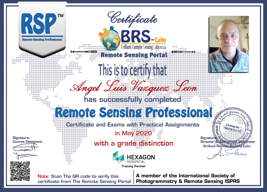
In compiling the content contained on, and accessed through this website, BRS-Labs has used its best endeavours to ensure that the information is correct and current at the time of publication but takes no responsibility for any error, omission or defect therein. Situations or conversations in the lectures and learning activities may be generally hypothetical or imaginary and are included for educational purposes only. The opinions expressed in any third party materials are not necessarily those of BRS-Labs but are provided for academic practice and educational purposes only. BRS-Labs is the official and only owner of the RSS, RSP, RSSD certificates and all courses delivered by this website.
Links to other websites
Links to other websites are provided for your convenience. If you use these links, you will leave this site. We have not reviewed all of the content of these third-party sites and are not responsible for their content or the accuracy of the information presented. We will not accept any liability for your access, use or reliance of those websites.
Before disclosing your personal information or using other websites, we suggest you examine the terms and conditions of those websites, as they may differ from ours.
